Perth shivered to its coldest morning in 15 years on July 25, 2025, as a powerful cold front ushered in rain, damaging winds, and unseasonably low temperatures across much of Australia. The Perth metro station at Mt Lawley registered a low of 0.3 °C at 6:55 am, the lowest since July 2010
In some suburbs, temperatures fell below freezing. Jandakot recorded –1.3 °C, Swan Valley reached –0.8 °C, and Mandurah set a new July record with a minimum of 4.0 °C, breaking the previous 4.4 °C from July 2015
As dawn broke, Perth Airport’s “feels-like” temperature was around –2.3 °C, leaving drivers scraping ice from windscreens in the metro area
The chill is part of a continental-scale weather system — a vast low-pressure area spanning about 3,000 km that is sweeping from Western Australia toward Queensland and beyond. It’s delivering a broad band of rain, thunderstorms, and strong gusts across nearly every Australian state except Tasmania and the ACT

In Western Australia, several regions reported their coldest day in years, with maximums held to just 14 °C, Perth’s chillest day since August 2022. The system brought rain and even a tornado earlier in the week, followed by the arrival of a dense pool of icy air causing frost and fog under clear overnight skies
Meteorologists warn that damaging wind gusts up to 100 km/h are expected across parts of Western Australia, South Australia, Victoria and inland New South Wales—raising the risk of fallen trees, property damage, hazardous driving, and power outages
Rainfall totals of 20–40 mm are forecast across southeastern regions that have endured prolonged drought, offering relief but also hazards including flooding and slippery roads.
As the system backs east, Queensland is bracing for further impact. Forecasts call for 15–25 mm of rain, gusts up to 90 km/h in areas such as Bedourie and Birdsville, and unseasonably cold conditions; even Brisbane has reported lows nearing 5 °C in recent mornings
Across Australia’s southern half, the weekend will remain chilly under continuing showers. In Perth, maximum temperatures will stay around 14–16 °C, with another cool low near 3 °C expected Saturday morning. Clearing skies are likely before another front arrives later next week
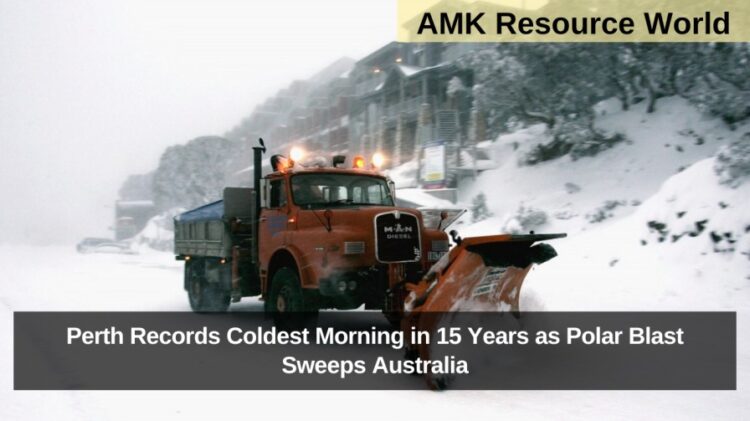
This rare polar blast has delivered widespread disruption: frost in suburbs, ice scraping for commuters, blustery winds, heavy rain, and unseasonable cold turning much of the nation into an unlikely winter front, well outside seasonal norms.